Everything a map built with Mappia can offer its users, grouped by what it is for. Each page shows a working example - the query and a picture of what it produces - and the tool's complete parameter list.
Inputs
Controls in a layer's panel whose values feed the calculation: move a slider, type a value, pick from a list.
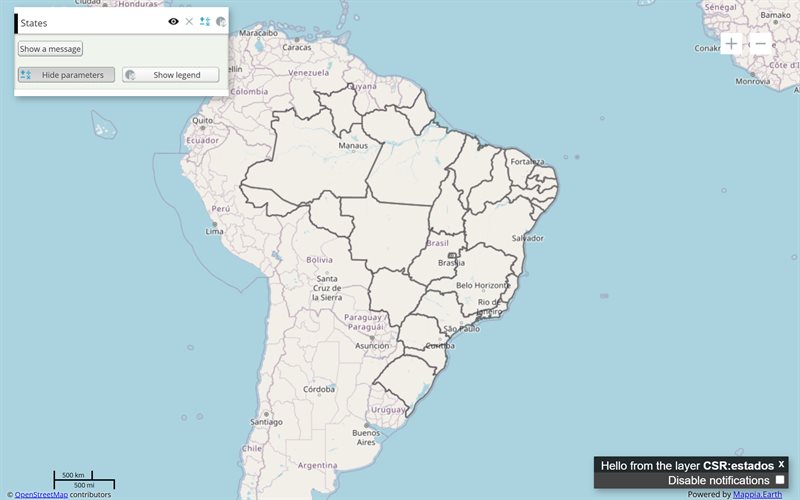
Button
A button that runs one of your functions when clicked, or switches on and off as a toggle.
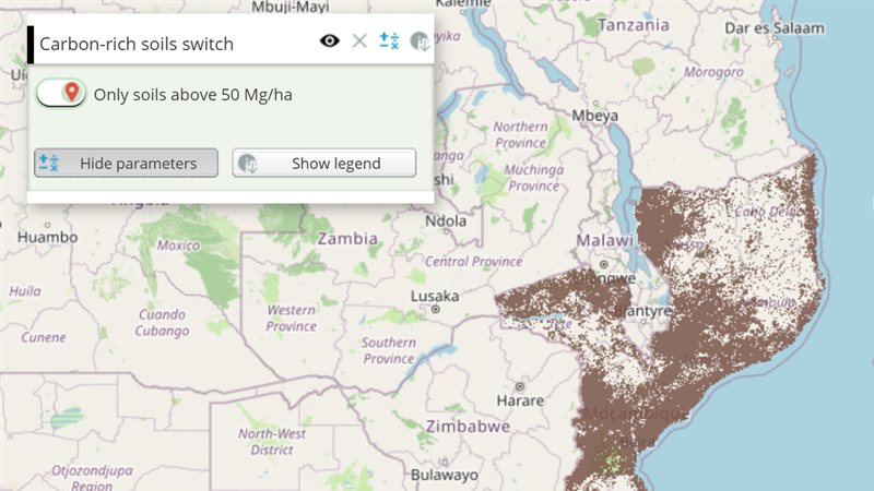
Checkbox
A switch that runs code when the user turns it on or off.
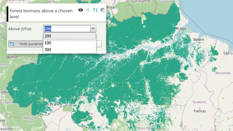
Combobox
A drop-down list: the user picks one value and the layer recalculates with it.
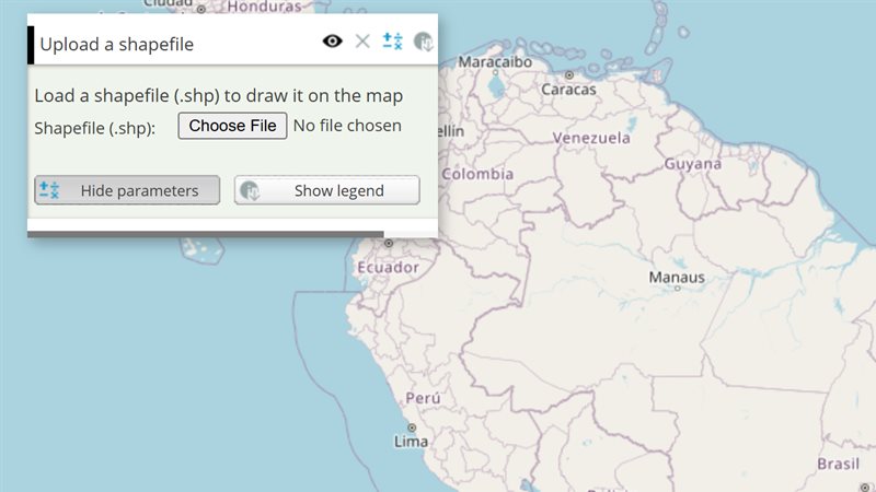
FileField
Let the user pick a file from their computer and hand it to your code, for example to draw a...
InputManager
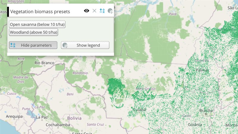
A hidden store of named values that buttons and callbacks fill; storing a value recalculates the layer.
Range Slider
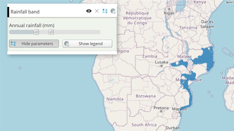
A slider with two thumbs that hands the layer a [low, high] pair, to keep only the values inside a...
Slider and Label
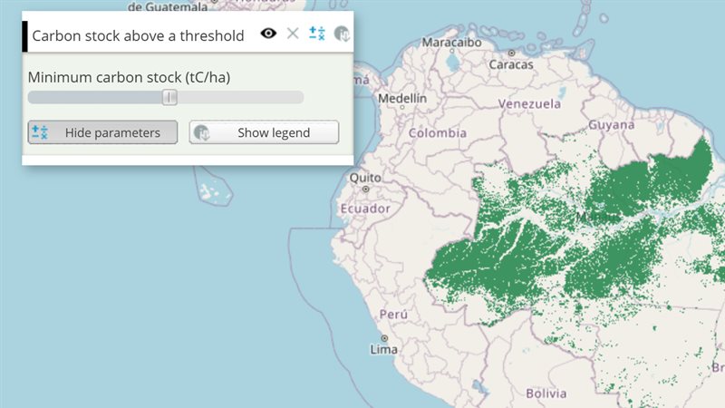
A draggable slider that feeds a number into the layer's calculation, with a label that tells the user what the...
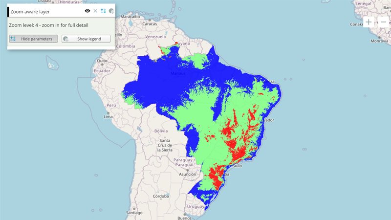
Reading the map
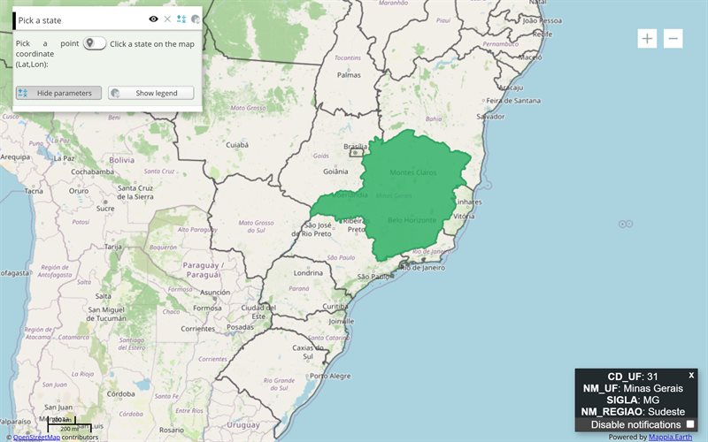
Click, hover or draw on the map to read values, sum areas, or pick and edit features.
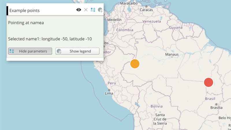
Clicking and hovering on features
React when users click or hover features of a vector layer: run your function, restyle the feature, cluster dense points....
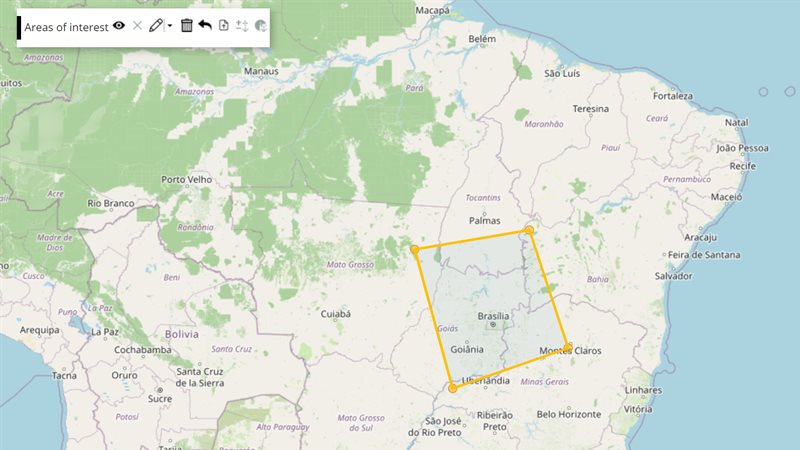
Drawing and editing shapes
Let users draw, reshape and delete polygons and lines on a vector layer, from the layer's toolbar or from your...
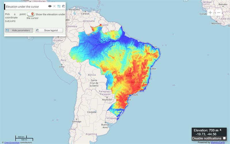
Showing results
Legends, side-by-side comparisons, animations, charts, windows and messages.
Charts
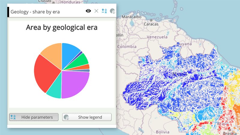
Draw Highcharts charts - bars, lines, pies, Sankey transitions - inside a layer's panel or a window, and update them...
Expression
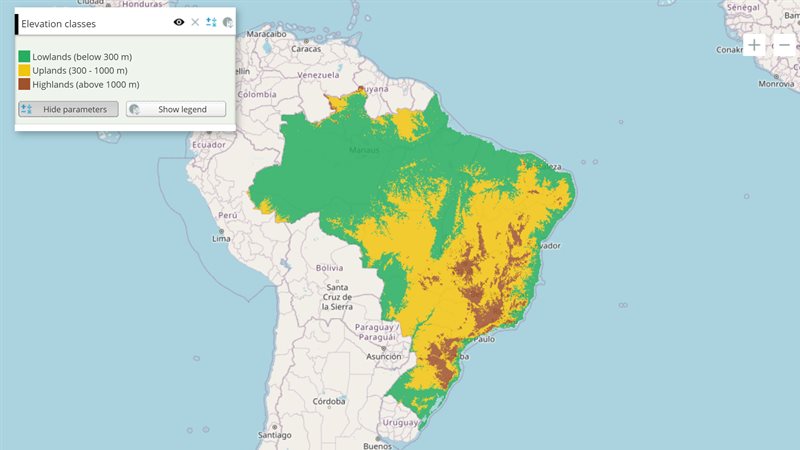
Compute a new map pixel by pixel: a JavaScript function combines the values of the layer's maps and widgets into...
LegendHtml and OpacitySlider
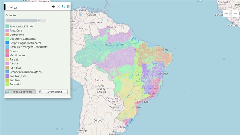
Show the layer's legend inside its panel, plus a slider that changes how transparent the layer is.
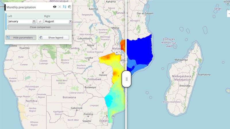
LiveComposedSplit (split view)
Compare two styles of the same map side by side, with a divider the user drags across the map -...
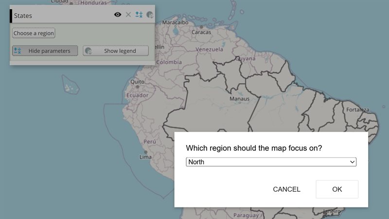
Notifications and choices
Show the user a short message, a non-blocking alert, or a choice between options, from any callback.
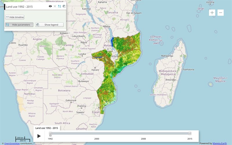
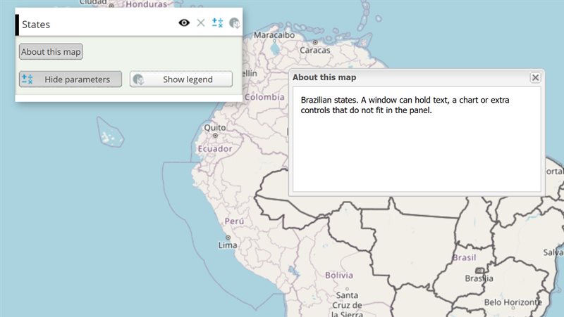
Data and layers
Bring data in: CSV and JSON files, GeoJSON, tile services, overlays and basemaps.
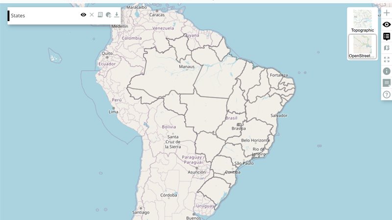
Background map picker
Offer several basemaps - OpenStreetMap, satellite, topographic - and let the user switch between them from floating thumbnails.
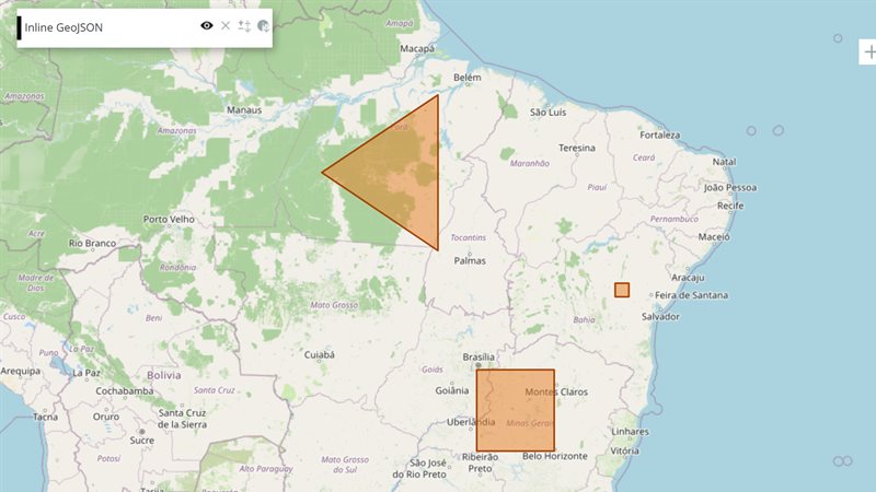
JSON file source Layer
Show vector features - inline GeoJSON, or a GeoJSON or CSV file - as a map layer with its own...
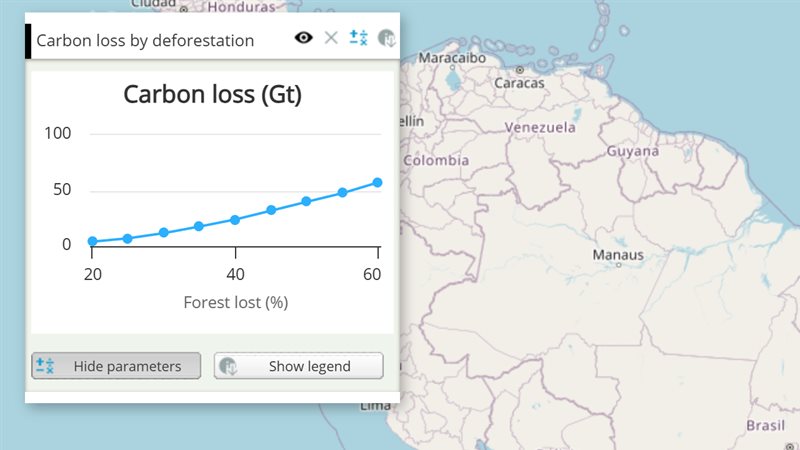
Loadcsv
Download a CSV table with the layer and read it from your callbacks - to draw charts, look up values...
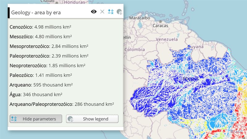
Loadjson
Download a JSON file with the layer and use the parsed object in your callbacks - for lookups, lists and...
Page and integration
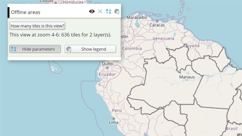
The layer row, the toolbar, offline use, and the markup rules every tool shares.
Layer panel buttons
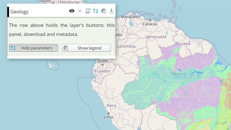
The buttons on each layer and group row: open the query panel, download, metadata, custom buttons, and group callbacks.
Map toolbar tools and page options
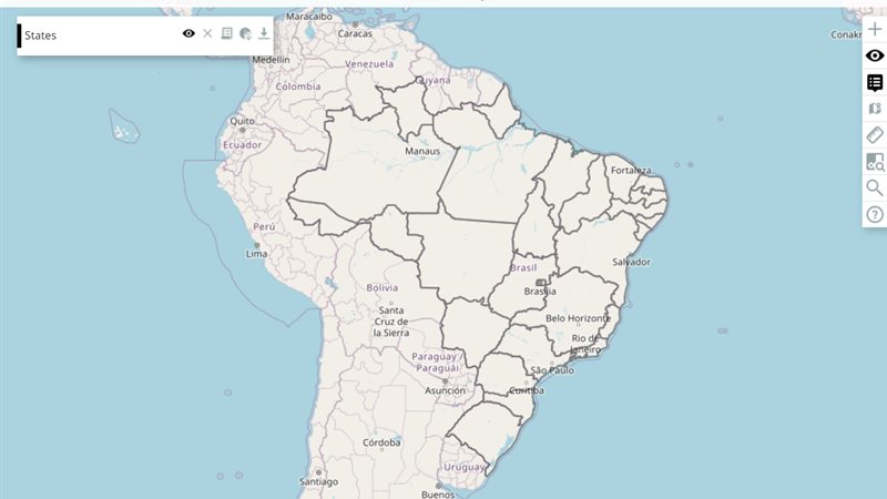
Choose the toolbar buttons (measure, identify, legend under the cursor...) and page options (scale, grid, start open...) through the map's...
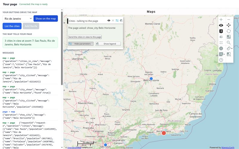
MappiaIO (embed a map, talk to it)
Put a Mappia map inside your own page and make them work together: your buttons drive the map, the map...
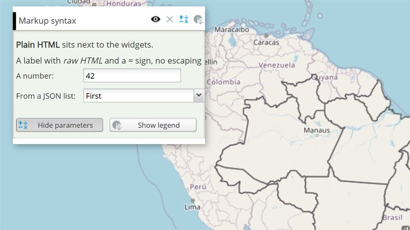
Every markup tag
Widgets are written inside a layer's descriptionHtml as {{tag|param=value}}. Every tag, and the page that documents it. The complete parameter lists are in the widget catalogue.
| Markup tag | Documented in |
|---|---|
{{areaintegral}} | AreaIntegral (not available right now) |
{{button}} | Button |
{{checkbox}} | Checkbox |
{{combobox}} | Combobox |
{{filefield}} | FileField |
{{hoverpixel}} | Hoverpixel |
{{inputmanager}} | InputManager |
{{label}} | Slider and Label |
{{legendhtml}} | LegendHtml and OpacitySlider |
{{livecomposedsplit}} | LiveComposedSplit (split view) |
{{loadcsv}} | Loadcsv |
{{loadjson}} | Loadjson |
{{opacityslider}} | LegendHtml and OpacitySlider |
{{pickpoint}} | Pickpoint |
{{slider}} | Range Slider |
{{slider}} | Slider and Label |
{{summedarea}} | SummedArea (not available right now) |
{{textfield}} | Textfield |
{{timeline}} | Timeline Panel |
{{window}} | Window |
{{zoomlevel}} | ZoomLevel |